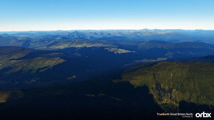
Orbx has released their latest TrueEarth product for X-Plane 12. TrueEarth Great Britain North covers over 40,000 square miles of the north of Great Britain by adding new aerial imagery, implementing autogen technology and accurately depicting tree and building height and locations.
The TrueEarth series has also been designed to enhance the world of X-Plane with highly detailed ground scenery that makes it ideal for VFR flyers. It adds 1.4 million buildings, millions of trees, various VFR landmarks (e.g. masts, windfarms, churches, etc) and also over 400 3D custom points of interest models.
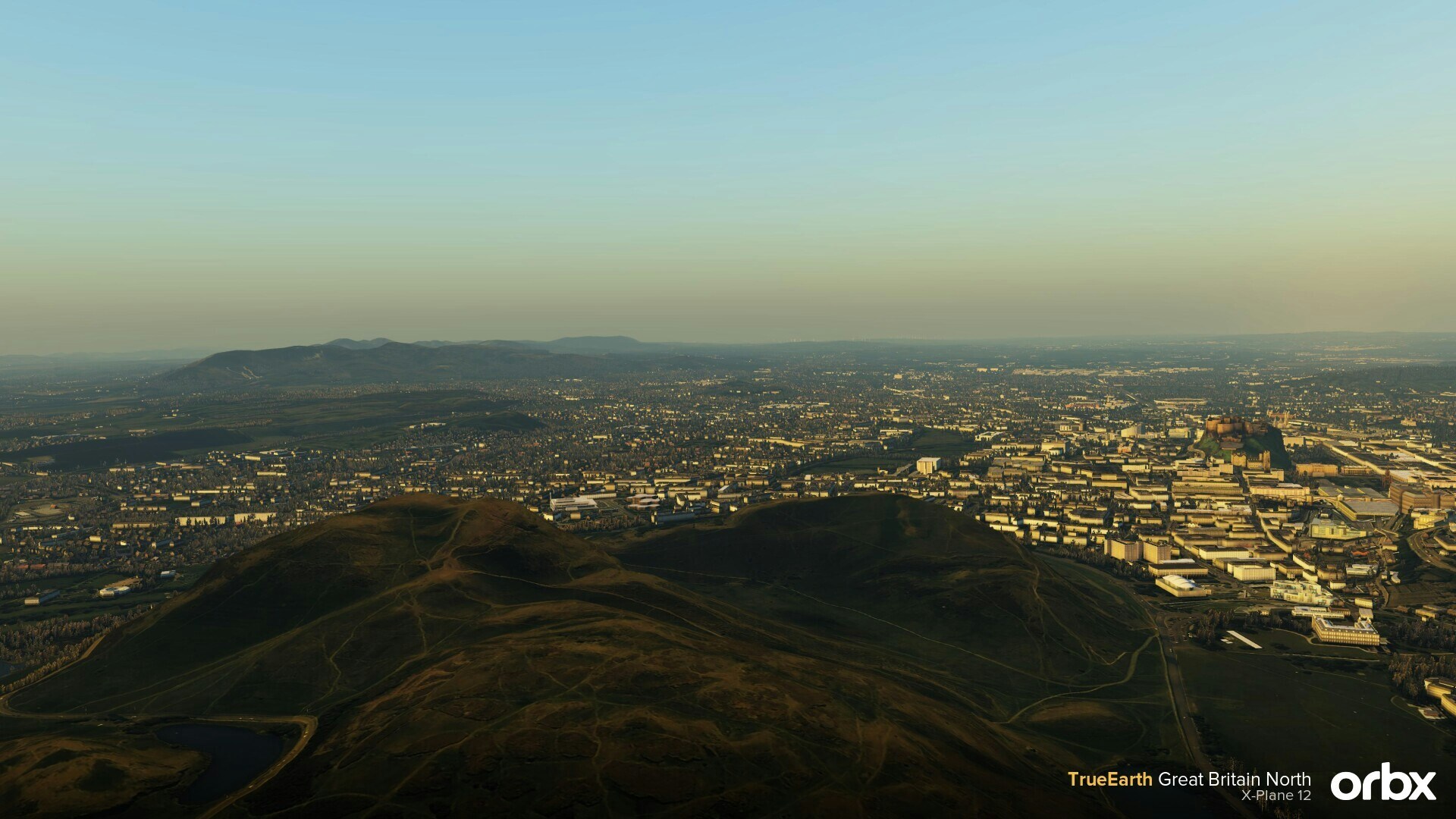
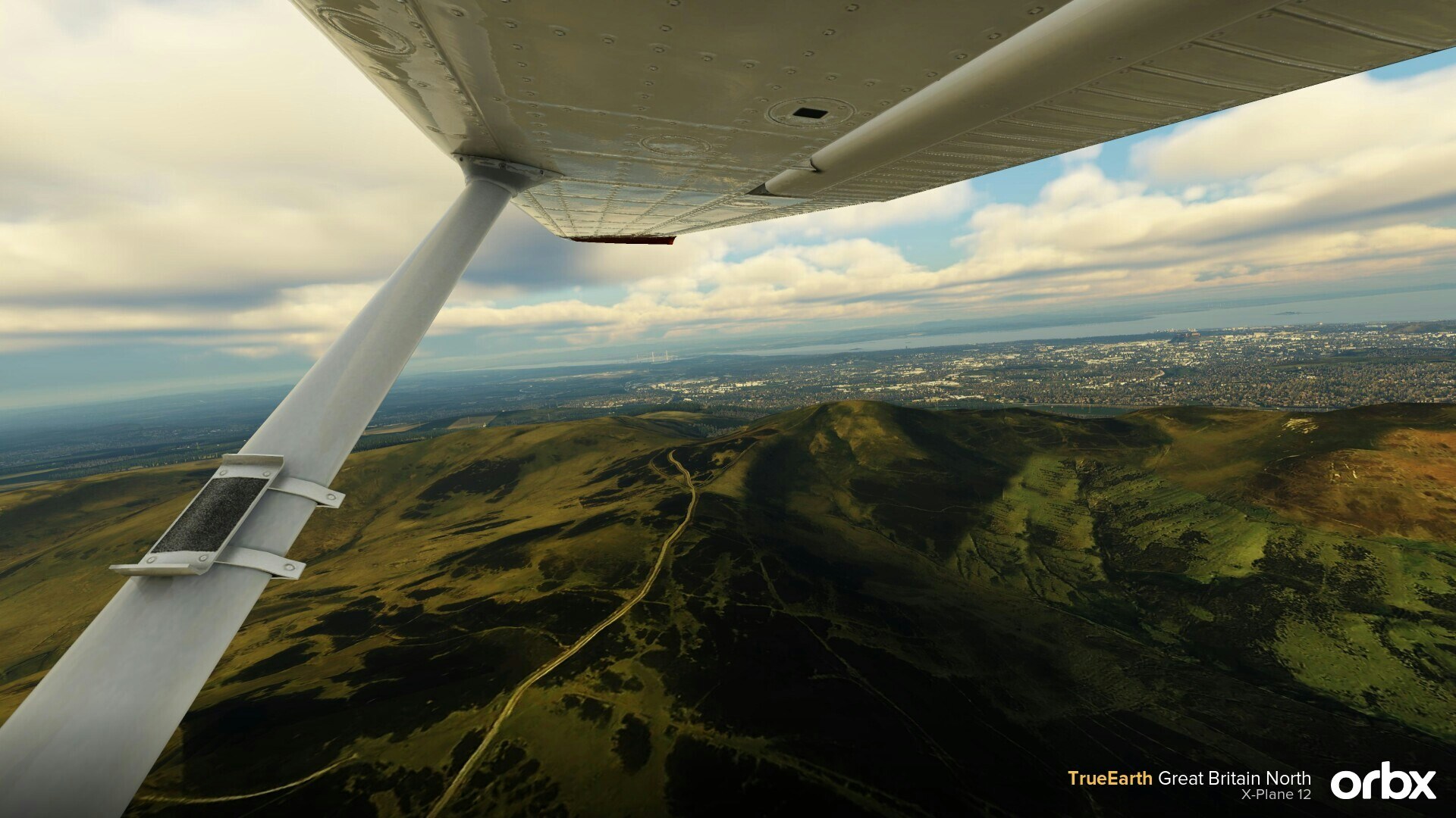
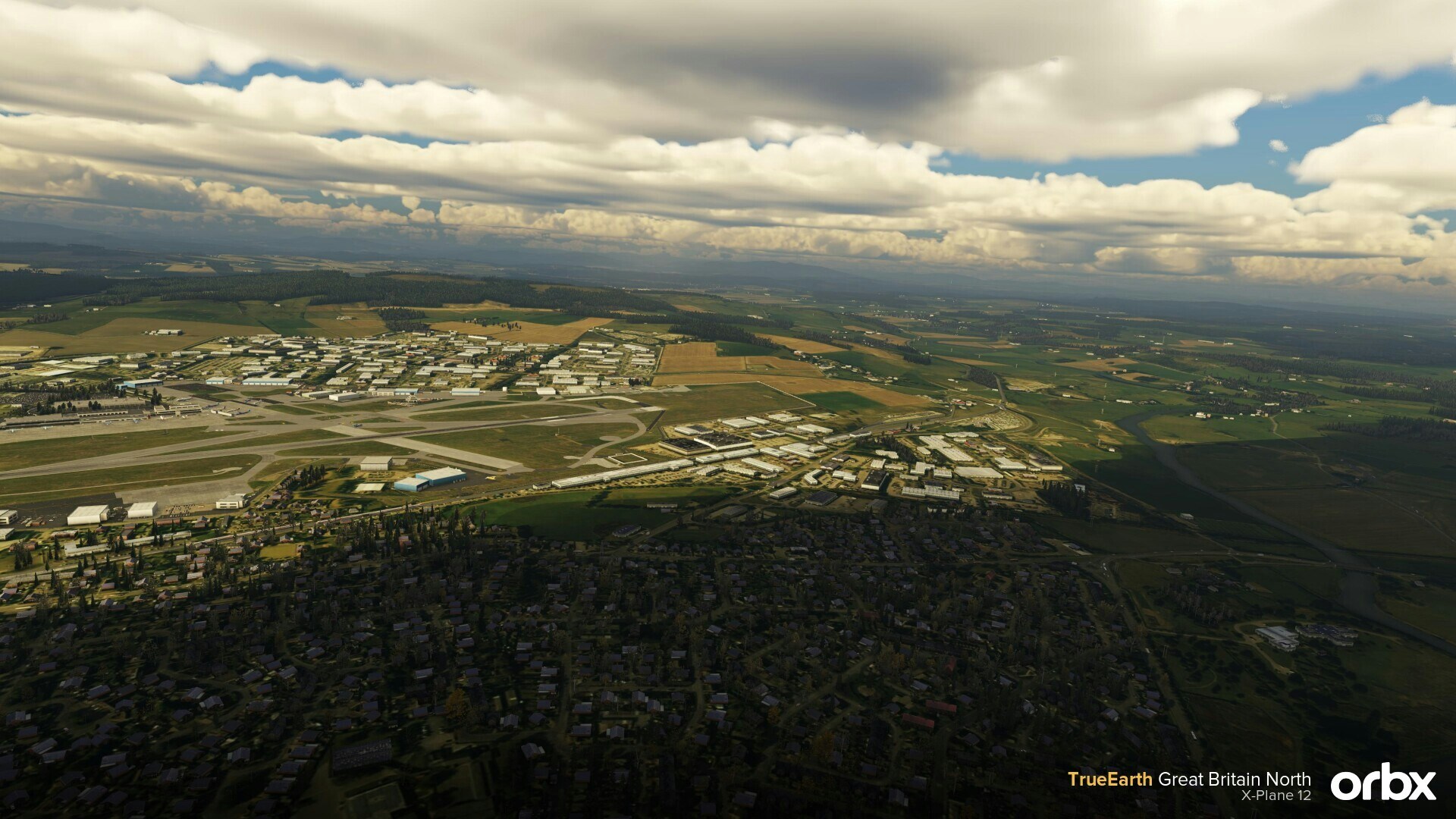
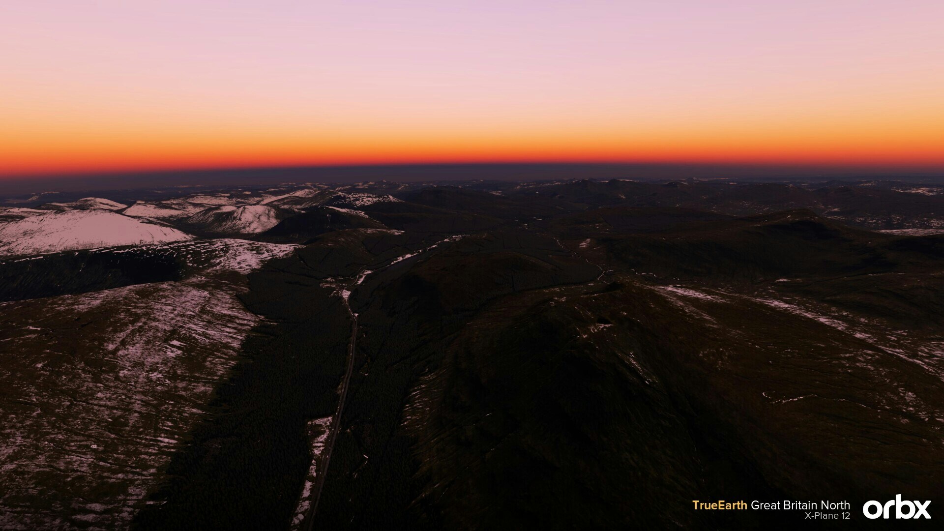
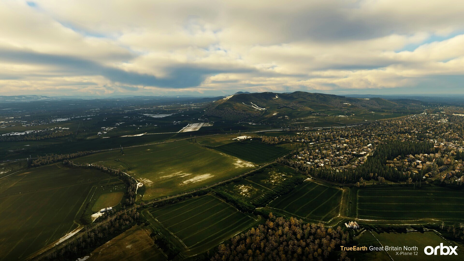
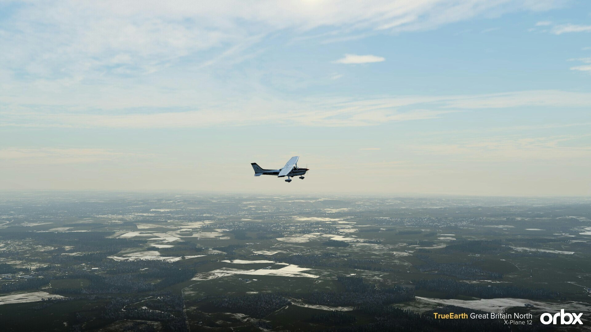
Further to the new objects, it also fixes many issues found in the stock world of X-Plane 12. This includes improved water masking, accurately recreating roads and rail networks, and adding 30-meter mesh across the coverage area. Do note that the new aerial imagery is Summer season only, with night lighting provided by HDR and texture lighting.
You can get your copy from OrbxDirect for $44.99AUD (excluding taxes). You can also learn about TrueEarth GB series here.
Features
- 40,415 square miles of hand-corrected, crisp, color-matched aerial imagery
- New autogen technology developed specially for X-Plane
- Well over 1.4 million buildings at the correct height and location
- Millions of trees within 160k+ accurately placed forests
- Many historic buildings including castles, bridges, stately homes, and more
- VFR landmarks such as masts, windfarms, churches, power lines, and lighthouses
- Over 400 custom 3D POI models
- Hand-placed and custom-modeled landmarks placed throughout the scenery
- Sharp and detailed 30-meter mesh brings out stunning detail in natural features
- Superb water masking along the entire coastline
- Accurate road and rail networks blended into the aerial imagery
- Summer season only with night lighting provided by HDR and texture lighting
