Navigraph Expands Charts with FAA Sectional Charts

Navigraph Charts latest update brings FAA Sectional Charts to the USA.

Posted: 28-Nov-2023 @ 18:13z
Navigraph Expands Charts with FAA Sectional Charts

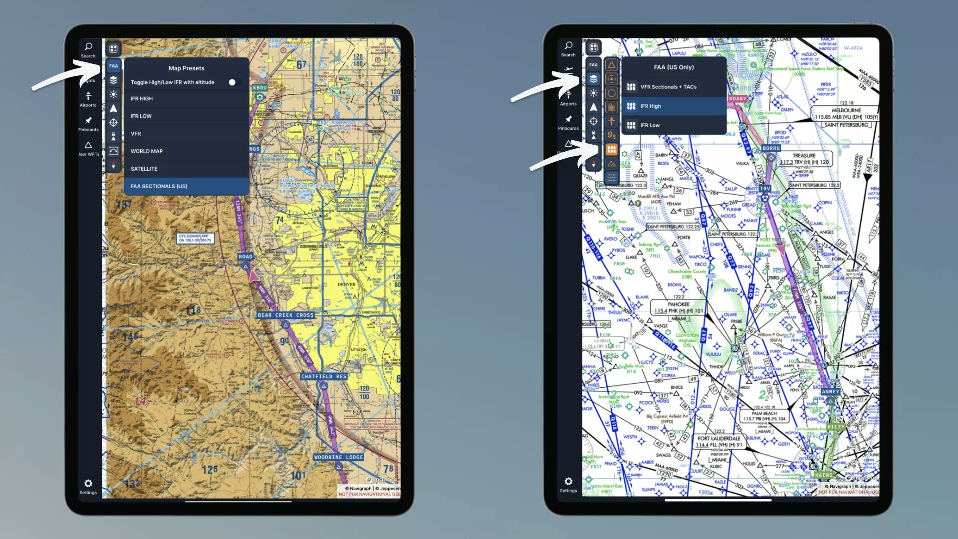
Good news for those pilots that like to take their planes up in the USA. Navigraph has expanded their popular Charts application with FAA Sectional Charts.

FAA Sectional Charts provide additional information to pilots that help them plan their flight, such as airstrips, radio frequencies and landmarks, terrain, airspace restrictions and refuelling points.

Additionally, the FAA Sectional Charts also include Terminal Area Charts, which offer more in-depth information for specific metropolitan areas and specifically highlight Class B Airspace information.

FAA Sectional Charts in Navigraph Charts are available right now in the Charts app against no additional cost. They can be accessed through the Charts ‘layer’ menu as well as through the Charts In-Game Panel in MSFS.

Unsure of how to use FAA Sectional Charts? Navigraph has also provided a handy tutorial over on YouTube to get acquainted with this new feature.

More From:   Navigraph
Discover More, Share and Give Feedback
Feedback
Daan
Daan has been with the FSElite team since almost the beginning having provided expert support and knowledge to help ensure our written content engages with the community.

100% of your tip goes to Daan

Your support keeps us motivated to continue providing great flight simulator content.
Tip with PayPal

myFSElite

Hey,
| ID:
Account Settings
Give us feedback on Navigraph Expands Charts with FAA Sectional Charts
Your feedback helps ensure our content remains accurate, relevant and in-keeping with our Community Charter.
Feedback Type *
Tell Us More *
Be descriptive (min 20 characters), but also concise (max 200 characters).
Your Name *
Let us know who we're talking to.
Your Email *
Hangar
Contact
Submit News
Theme