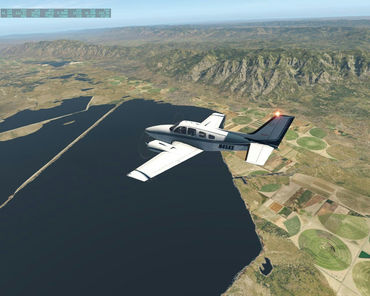
Taburet has released their latest mesh. For Utah, East Nevada and West Arizona for X Plane 11 today over on Simmarket.
The mesh is compiled from 10 M resolution data, providing high-resolution terrain Mesh for X Plane 11. The MeshXP function has been utilised to add terrain elevation points to further increase precision, shaping valleys and mountains, to enhance the immersive experience when using this scenery.
Coverage:
“Utah; East Nevada; West Arizona.
This scenery adds elevation points on a 10 m space from each other. It requires 2.4 gb HD space.
No decrease on frames rates. Featuring redesigned Hydrology extracted from the Nhd Usgs Hydrology data.
This block over some of the best terrains to fly over the United States featuring spectacular areas such as the Grand Canyon of Arizona and Monument Valley.
This package will put you right there. All MeshXP Packages are designed to work with each other to provide continuous coverage without leaving any gap between one package and the other. Packages might not cover entire states as we cut into square blocks to keep it as simple as possible to understand coverages of each package.”
Use X-Plane? Love to write? Why not join the FSElite team. We’re looking for new X-Plane content creators.
