Providing regional jet drivers with a new destination to explore, Verticalsim has released their rendition of Fayetteville Regional Airport (KFAY) for MSFS via their official online store.
Located in Cumberland County, North Carolina, Fayetteville Regional Airport (KFAY), also commonly referred to as Grannis Field, is a small regional airport serving Fayetteville’s local community. Although being relatively small in size, the airport was able to count 258’986 enplanements in 2010 and, although not seeing any significant cargo operations, is an important general aviation airfield in the state of North Carolina.
Today, the airport’s only regular connections include American Eagle and Delta Connection CRJ operated services to Atlanta Hearthsfield Jackson, Charlotte Douglas, & Dallas Ft. Worth. On an interesting side note, the airport has 2 runways and a two concourse terminal building designed by Fayetteville-born architect Mason S. Hicks, a fellow of the American Institute of Architects.
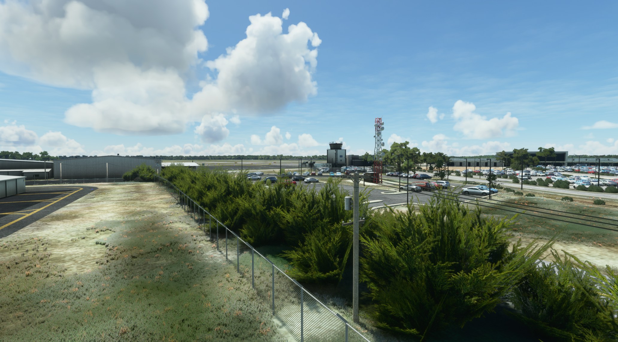
Following their Norfolk International (KORF) & Greensville-Spartanburg (KGSP) releases, scenery developer Verticalsim has released their rendition of Fayetteville Regional Airport (KFAY) for MSFS. Providing users with another CRJ destination, the developer claims that the scenery features a detailed replication of the real-life airport and includes features such as high-detailed PBR building and ground textures, custom jetways, color-graded satellite imagery, as well as custom HDR lighting.
You can now pick up Verticalsim’s rendition of Fayetteville Regional Airport (KFAY) for MSFS via the developer’s official online store, with it setting you back $12.00, subject to your location of purchase.
Feature List
- Low polygone 3D interior on Signature FBO
- Surrounding autogen/vegetation hand placed
- High resolution PBR ground and building textures
- Custom jetways
- Animated ground traffic vehicles
- Easy installation
- Highly optimized
- 2021 Airport layout
- Color graded satellite imagery
- Ground clutter
- Custom HDR lighting
- Proper airport data/logic (PAPI light positioning, AI taxipathing, etc.)
