An exciting day for Navigraph, with the release of a new mobile version of their popular Charts app, as well as detailed airport diagrams that will make your situational awareness better when moving around the airport.
Charts 8 Mobile
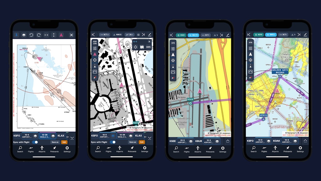
Following just a few months after the launch of Navigraph Charts 8, the popular flight planning and chart viewing app is now finally available on smaller mobile devices. Although the app was previously already available on tablet devices, mobile users were still left behind, until now. The mobile apps come with the same set of features as the tablet, and are available for both iOS and Android. For those that prefer to use the browser based version of Charts, Charts Cloud, that site will now scale to smaller screens as well.

Detailed Airport Diagrams
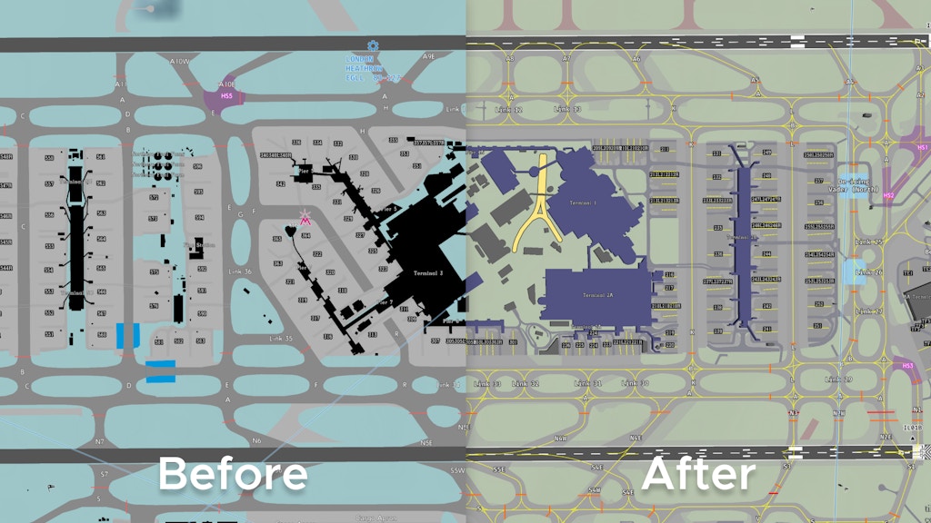
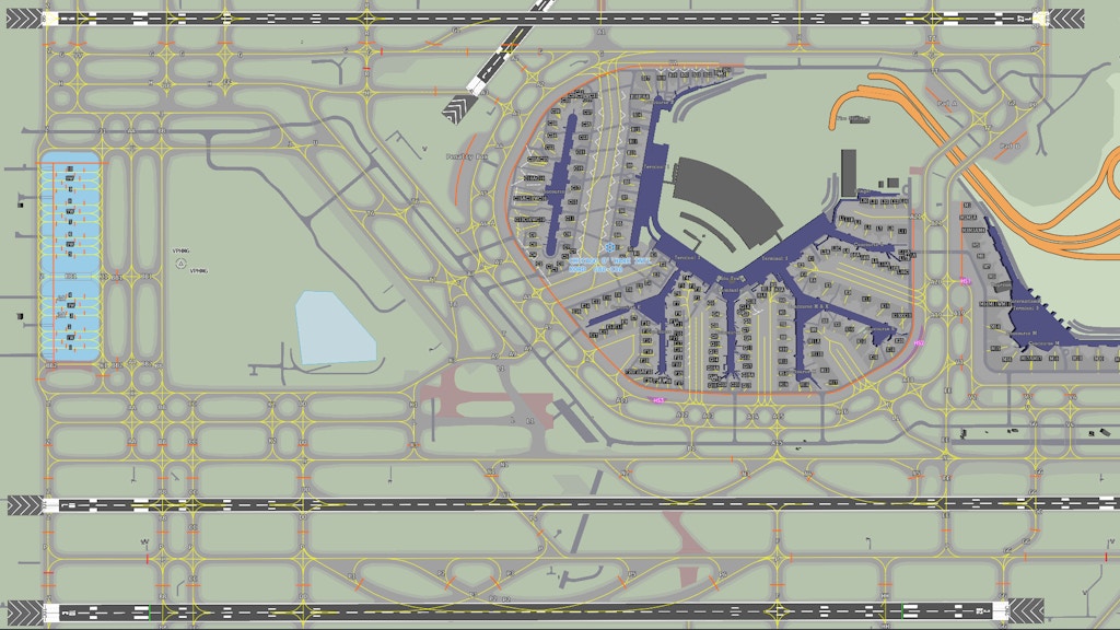
The launch of Charts 8 saw airport diagrams as a new added feature, drawing in a detailed rendition of the terminal, taxi and runways and even gates into the map. This airport diagram has now been overhauled, featuring more information and much more detail than before. Using an airport mapping database that contains info on the spacial layout of the airport, as well as the geometry of features such as runways taxiways and runways, and characteristics such as surface type, identifiers and runway slope, Detailed Airport Diagrams are able to give much more information than previously. Charts 8 will now be able to draw detailed taxiways with centrelines, runways complete with markings and some geometrical shapes of buildings. The new Detailed Airport Diagrams are available for over 1000 airports worldwide.
Navigraph Charts Mobile as well as the Detailed Airport Diagrams feature are available right now for Navigraph Unlimited subscribers. If you do not have a subscription yet, you can get started with Navigraph for €9,05 per month or €81,64 per year.
